Cape Scott and a Journey Back in Time
On July 1, 2010 I headed up to Cape Scott for 4 nights (5 days), for my second trip to The Cape.
Now this blog will be slightly different. Many have written about their experiences there, but I doubt many have can have an experience like mine as I have roots in Cape Scott. My great grandparents and my grandmother (who’s now since departed) were settlers there from 1913 – 1919 so for me to go back is more than just a back country experience; it’s a look at my own family’s history... my ancestry.
I decided to go just a little over two weeks before; not a lot of time to get others to come along and this trip I wanted to spend my time exploring the park without feeling pressured or rushed. So on the afternoon of the 30th I drove up and camped in Port McNeil… got up nice and earlyish on Canada Day and continued onto the trail head.
I started my journey parking at the San Joseph Heritage Park; as I found out from an online forum that Doug lets people park there for $5 per day… nice peace of mind if you ask me. And as the park used Doug’s campground as the trail head when they built the new parking lot, there is a nice trail leading from his camp to the trail just down from the actual trail head, plus they even had a deposit box... although I have a feeling they don't check it now that the new parking lot is built... they'll get my money eventually.
As I began the march up the corduroy road to Eric Lake I remind myself that I should not complain or whine (to myself) about my pack’s weight as I recall from my research that most likely my great grandfather walked this same trail, but with a pack weighing over 100lbs to bring supplies into the settlement so that his family could survive. Today’s trail goes along much of the same old roads; although back then they would row down Eric Lake.
I trudge along enjoying the mud (enjoying my very water proof boots more) and have a nice 5 minute break at Eric Lake and another longer one at Fisherman’s River.
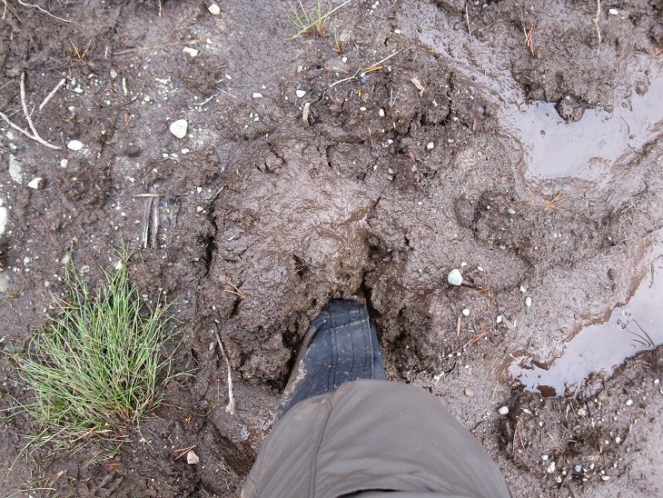
Opps, found some mud.
|
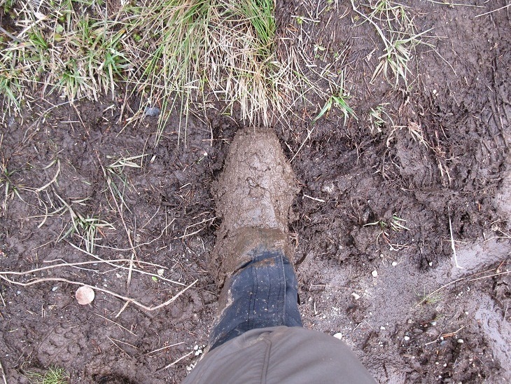
Yah, that's a bit muddy.
|
Not long after Fisherman’s River I pass the Donaldson’s Farm site and I get slightly deeper into my family’s past as my grandmother went to school with the Donaldson’s children. And each step closer to the intersection with Nels and Nissen Bight (and where there were a few homes back in the day) my thoughts return to how she would have lived some nearly 100 years ago and as I tire ever so slightly a sense of pride comes over me for what my family and the other settlers accomplished and how they lived in such a harsh environment and setting. I get a second wind and hike on with an ever increasing stride, my back help high as I take the turn towards the main settlement and towards Nels Bight.
I carry on and only make a very short stop at the historic information board at the top of the hill about the Community Hall / School House. I plan to spend a day exploring this area so I keep going. Down the hill towards the meadow; again, it is a strange sight to see the old road going down to the lagoon knowing that my relatives worked those fields and walked along that road and down there (somewhere and to my left) are the ruins of my great grandparents home.
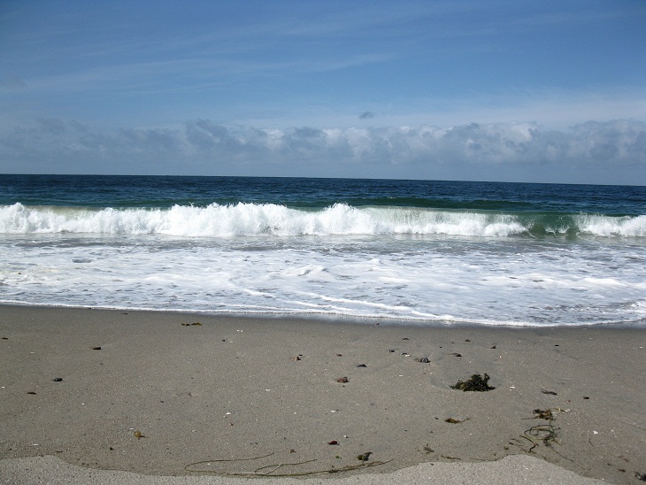
I continue along to Nels Bight under a mostly clear sky with an ever increasing chance of rain and try to imagine my grandmother and other family and friends going to Nels Bight on day trips to play on the sandy white beaches.
I carry on and only make a very short stop at the historic information board at the top of the hill about the Community Hall / School House. I plan to spend a day exploring this area so I keep going. Down the hill towards the meadow; again, it is a strange sight to see the old road going down to the lagoon knowing that my relatives worked those fields and walked along that road and down there (somewhere and to my left) are the ruins of my great grandparents home.
I continue along to Nels Bight under a mostly clear sky with an ever increasing chance of rain and try to imagine my grandmother and other family and friends going to Nels Bight on day trips to play on the sandy white beaches.
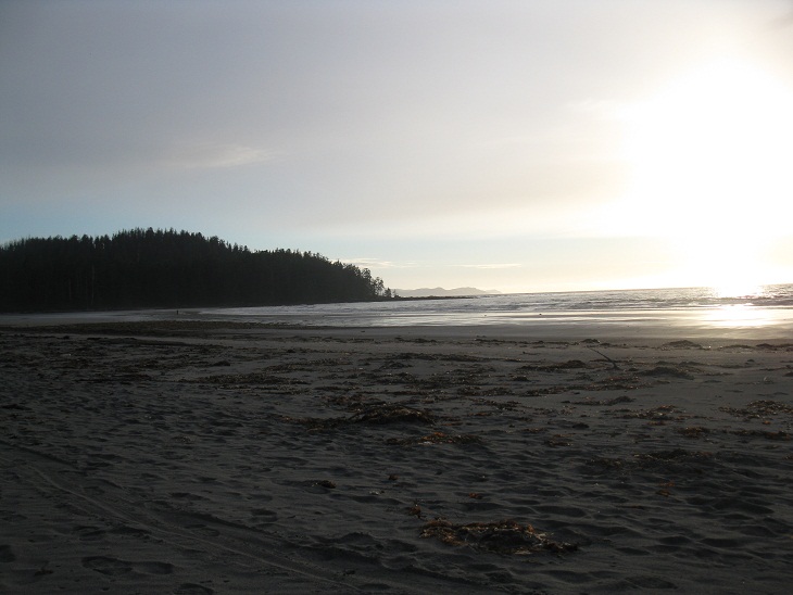
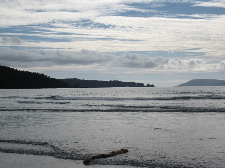
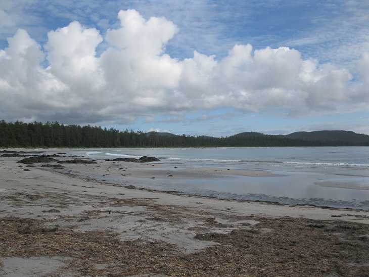
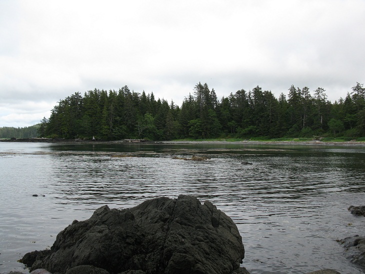
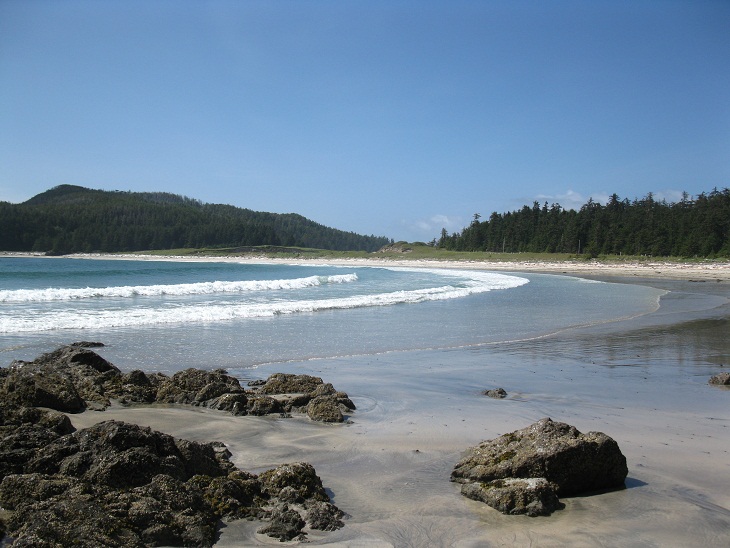
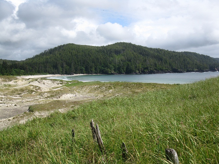
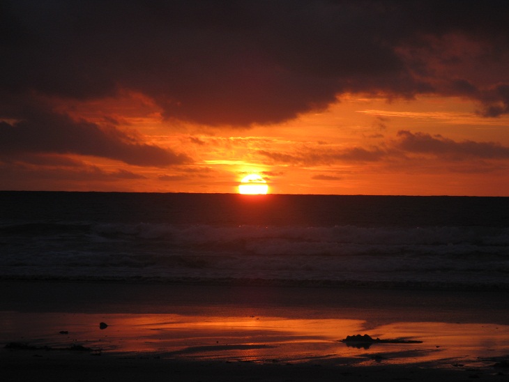
The view from the main camping area at Nels, with The Cape in the background.
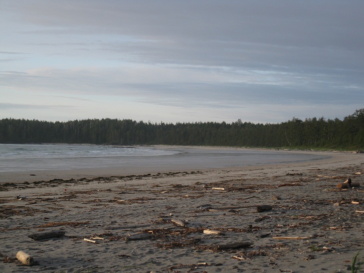
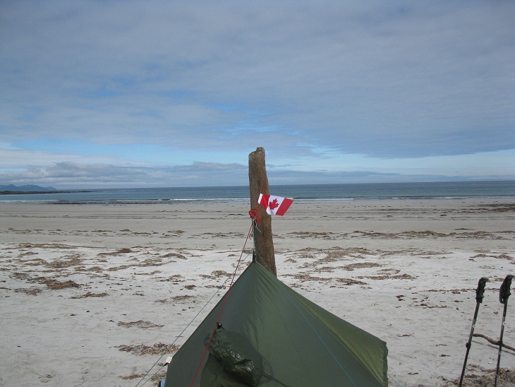
The view from camp.
Day 2
Now it’s time to really explore back into my family’s history; I gear myself up for an all day, day hike and I’m off to the lagoon area (where I did not get too on my first trip to The Cape in August 2009). I head over to the main Lagoon road and start to head down, jumping over the small meandering streams and across the wooden planks. This makes me think back to my grandmother's writings about the winters there and how her father would have to carry the kids across these streams as they would swell in the winter months. I go over the dyke and onto the dried lagoon itself (the tide was out) and made my way over to the mouth of Fisherman’s River; as I stare up the river and wonder where exactly my family's land had been I remember the stories of my grandmother of the cougars crying and the night that something bumped into my great grandmother while they slept in a tent (during the construction of their home) and the next morning they found bear prints all over by the tent.
Now it’s time to really explore back into my family’s history; I gear myself up for an all day, day hike and I’m off to the lagoon area (where I did not get too on my first trip to The Cape in August 2009). I head over to the main Lagoon road and start to head down, jumping over the small meandering streams and across the wooden planks. This makes me think back to my grandmother's writings about the winters there and how her father would have to carry the kids across these streams as they would swell in the winter months. I go over the dyke and onto the dried lagoon itself (the tide was out) and made my way over to the mouth of Fisherman’s River; as I stare up the river and wonder where exactly my family's land had been I remember the stories of my grandmother of the cougars crying and the night that something bumped into my great grandmother while they slept in a tent (during the construction of their home) and the next morning they found bear prints all over by the tent.
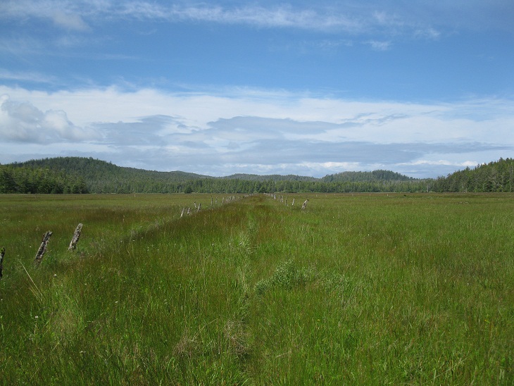
Looking down the old Lagoon Road towards Hansen Lagoon.
|
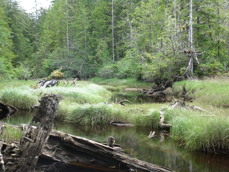
The mouth of Fishermans River. 100 years ago homes were located here and somewhere near here was my great grandparents and my grandmothers old home.
|
I decide to walk out further and go across where the river fans out to just a few inches and explore further along the mouth of the river (it spans out into several smaller arms). While walking along the mud I notice I’m not alone out there; I’ve come across some bear tracks in the mud. I follow the tracks to the grass on the shore and look closely at the woods with hopes of getting a spotting, but he’s (or she) is not in sight. So I make my way back to the dyke for some lunch and listen to the birds sing and there are plenty; I’m sure not much has changed in the past 100 years in that respect and can see how my grandmother became a bird watcher... their songs surround you out there.
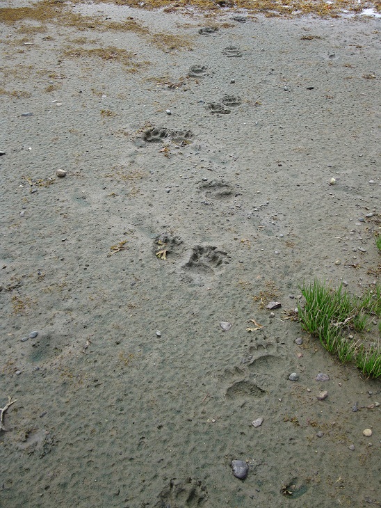
Someone else is also out for a hike this morning.
|
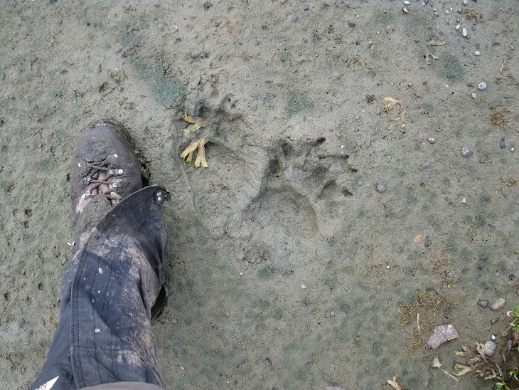
It's just a little one.
|
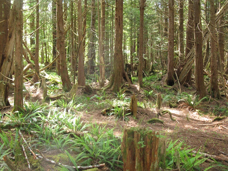
I make my way back out along the main road and follow a very overgrown side trail towards the forest on the southern side; it quickly becomes very thick. I snap a few pictures and wonder who use to live down there? Most likely my own family.
|
|
After getting back to camp, I head down Nels to take in some great sights of The Cape, Lanz Island and Cox Island.
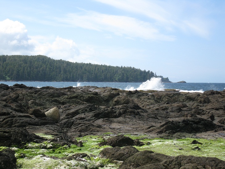
The Cape and Cox Island.
|
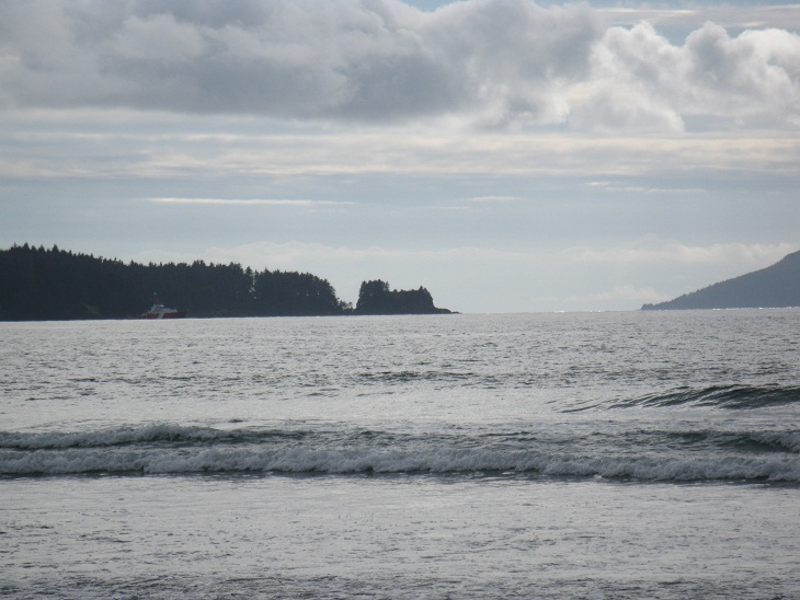
Close up of The Cape; notice the Coast Guard vessel taking shelter in the lee of Experiment Bight - they spent the night there.
|
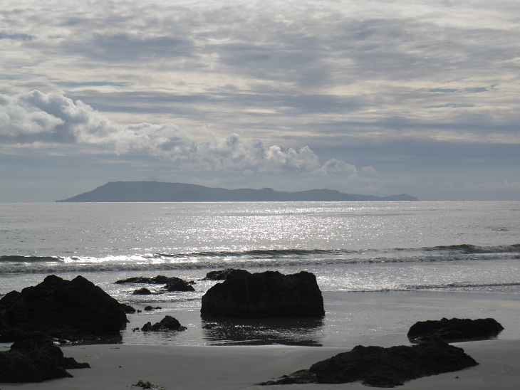
Cox Island and Lanz Island.
|
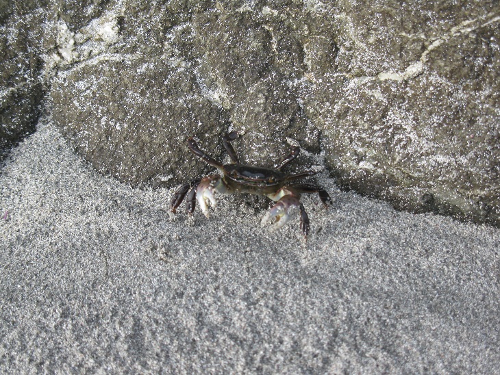
Pinchy.
|
Looking back along Nels. It's a long way back to the campsite, which is basically at the far end of the beach.
|
Day 3
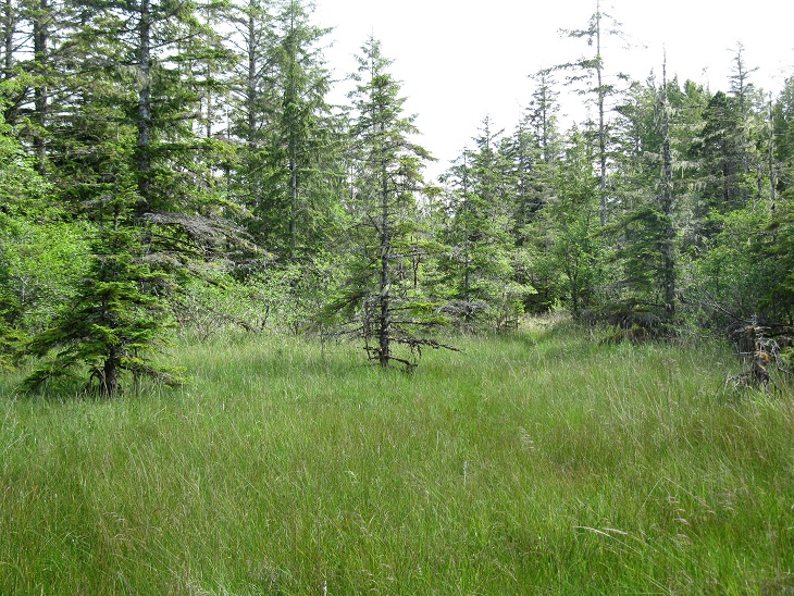
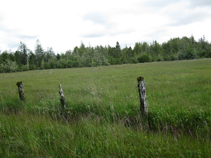
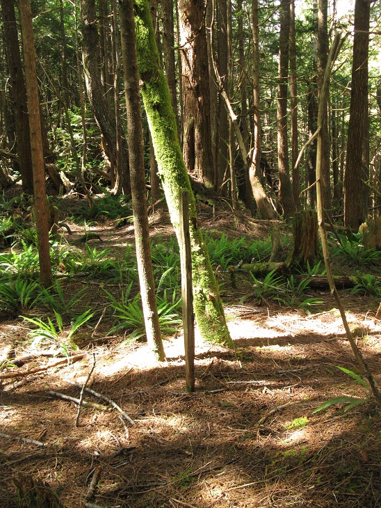
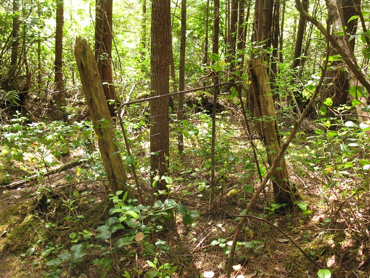
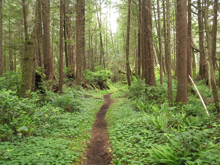
Today’s objective is the old town site; again, I pack for the day and off I go. As I begin to enter the woods from the meadows I keep my eyes pealed for any signs of a trail leading off into the bush. The first one I come to actually coincided with an old trail that is on my topographic map that is downloaded into my gps. As I enter into the forest my thoughts are of the people that once lived up there. Today there is not much evidence of those days, nearly 100 years ago; a fence post here, an actual bit of standing barb wire fence there, a small hoe, and other such odds and ends. I stare carefully at the trees and ground trying to imagine where a house or cabin could have been; with some thought it’s not too hard; all one would need would be some flat ground... one spot corresponded with a post in the ground... a gateway of sorts?
Today’s objective is the old town site; again, I pack for the day and off I go. As I begin to enter the woods from the meadows I keep my eyes pealed for any signs of a trail leading off into the bush. The first one I come to actually coincided with an old trail that is on my topographic map that is downloaded into my gps. As I enter into the forest my thoughts are of the people that once lived up there. Today there is not much evidence of those days, nearly 100 years ago; a fence post here, an actual bit of standing barb wire fence there, a small hoe, and other such odds and ends. I stare carefully at the trees and ground trying to imagine where a house or cabin could have been; with some thought it’s not too hard; all one would need would be some flat ground... one spot corresponded with a post in the ground... a gateway of sorts?
Semi open ground might have been a homesite many years ago. Of course it is very hard to tell just by looking as the forest has reclaimed much of this land.
|
A post in the ground, maybe?
|
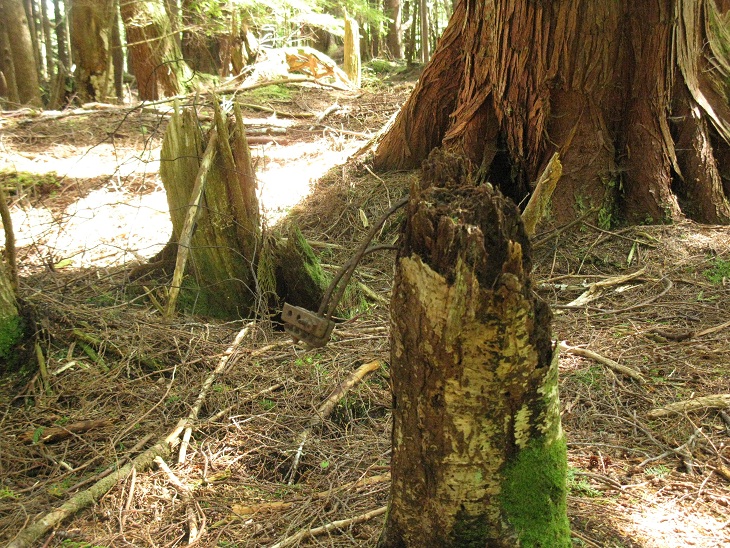
If you look close you can see a gardening tool on the stump in the foreground.
|
Of course within the older ruins there are the relics of the times since then; the military was up there during WWII and some die hard settlers stayed into the late 50’s but the bulk of settlers left in and around 1917 – 1919. As I make my way back to the top of the hill on the main trail I stop and re-read that historic information sign. I read every word and look closely at the pictures; in the picture of the country fair (which my family apparently won many prizes for their produce that they grew) I spend a few more moments on that one… as my great grandmother, grandmother and her sister are in that picture. It’s strange to see a family picture that all travellers to Cape Scott get to see.
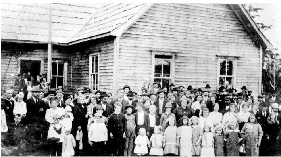
My grandmother is forth from the right in the very first row, her sister, a great aunt and my great grandmother are also in the picture.
And a line from the sign stands out in my mind “Though they had so little they had so much!”. I remember reading that line from my first trip there, and it stuck with me. When I returned from this trip I started to re-read a book that I got after my first trip about Cape Scott and other similar settlements, (Dreams of Freedom) within this book my Grandmother was quoted “Cape Scott was something very special and clean and though we had so little, we had so much.” Coincidence? I doubt it. So not only is she in the photograph, but she is also quoted or so it would appear to be on this sign board.
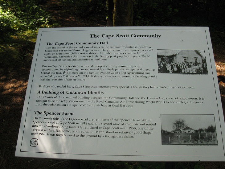
Sign board on the way to the Nels. Note: some time between 2010 and 2011 a fallen tree had taken out the sign off its stand. The sign has been placed op a new stand but there is some damage to the actual sign board.
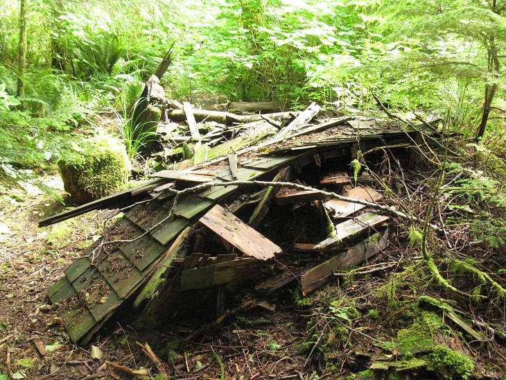
This same tree also reduced one of the last buildings to be visible to a pile or planks.
I then move on down the road towards the intersection of Nels and Nissen Bight. My first stop is a side trail that I had seen on my first trip but did not go down. Not far along this side trail from the main road (trail) are where some graves are located, today only one (for sure) actual time piece tombstone remains. The graves were surrounded by fences and gates; some of which can still be seen today. My grandmother use to come here when she use to live down the road from here and place wildflowers on the graves. She would place extra flowers on one young man's grave. An Emerson Pollock, he accidentally shot himself in the arm. My great grandfather tried to save the man and took care of him till the doctor arrived (which took several days) but when the young man was faced with losing his arm or dying he chose to die. According to the BC Archives he died April 24, 1915 at the age of 27. I place a few flowers on one of the tombstones that remain in memory of my grandmother’s tradition and for those that never left the Cape. I carry on.
A gate that would have lead to a grave in the old cemetery.
|
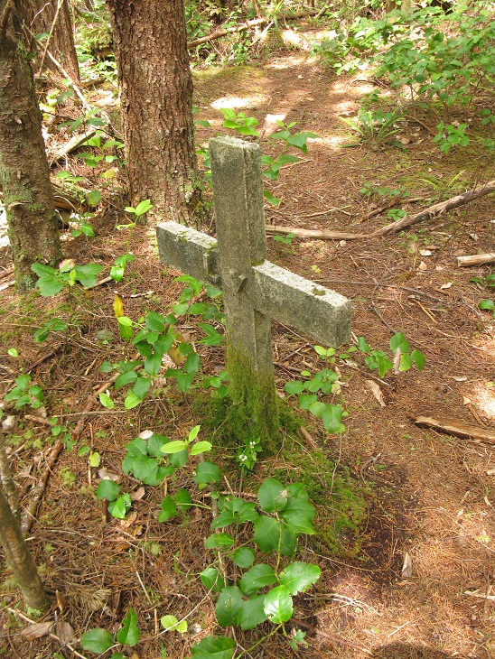
One of the remaining grave stones.
|
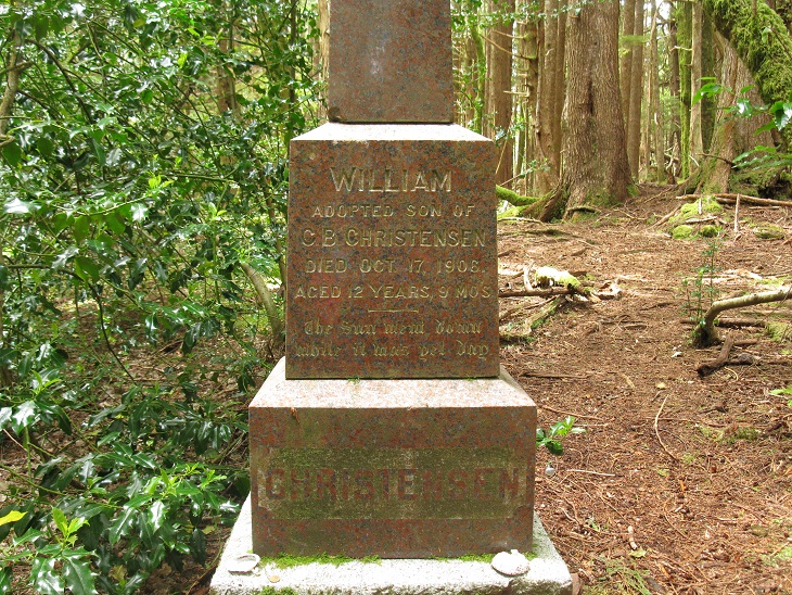
I move on to where the old school teacher use to live CB Christensen (as well as teachers after him), today his well still remains and some bits of an old stove. My grandmother writes about picking apples off the trees that grew in the yard there. And she writes of the marble tombstone of the 12 year old adopted son of Christensen, William. This tombstone still stands and many people come to visit it. It stands in a small patch of ground and the entrance is bordered by Holly trees; today, these trees reach high into the forest. (Note: as of 2014 the Holly Trees were cut down, assuming it was done as Holly is an invasive/introduced plant on Vancouver Island) What most people may not know is how William died. He was building a bookcase for his father, stepped on a nail and developed blood poisoning. Again, lack of medical assistance close by did not help. I can understand how Christensen would have built such a memorial for such a tragedy.
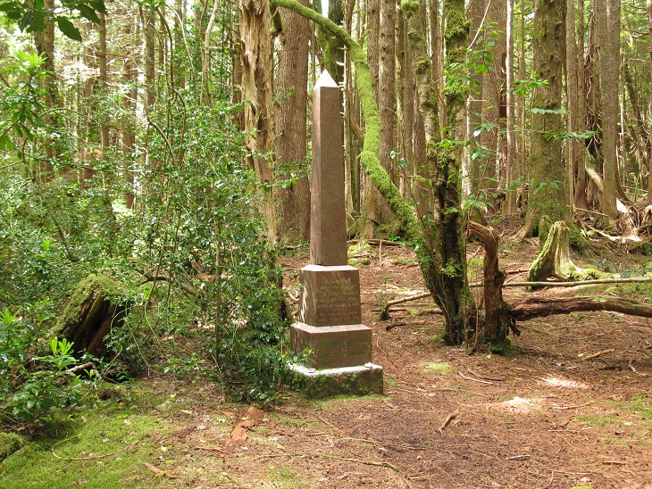
The tombstone stands over 6 feet tall.
|
The sun went down
while it was yet day.
|
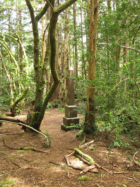
The entrance to the memorial with Holly trees bordering the entrance. (The Holly Trees have since been cut down.)
|
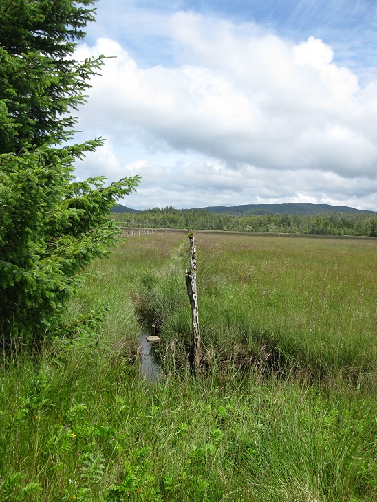
From here I make the trip down to Fisherman’s Bay and Nissen Bight. She wrote about going down here as a child. At Fisherman’s Bay was the only store in the settlement as the bay was where the small gas boat would arrive to drop off supplies (when it made it) and it was the town centre to the first attempt of settling the area. So there were several families that lived down there, some 100 years ago. I make my way to Nissen and sit on the beach (that they use to be called Sunset Beach) I remember stories of her coming down here with her family to visit Danish friends that lived down there at Sunset Beach; they would play the fiddle and sing and dance into the night and head home the next day. What a wonderful place to live.
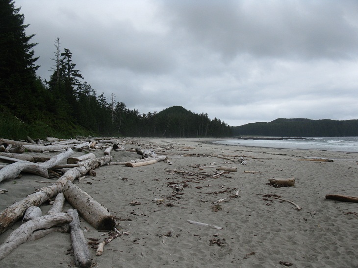
The trail (road) down to Fisherman Bay and Sunset Beach.
|
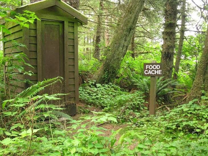
BC Parks staff have a sense of humour.
|
Imagine homes cut into the forest here overlooking the beach - this is my favourite camping spot within the park.
On my way back to camp, I take the short trip to Fisherman’s Bay. As I mentioned before, this is where the only store was located and where the boat would come. But it would not dock there. All the goods and people would have to be paddled ashore and that’s how my family arrived back in 1913. They had travelled from Vancouver to Shusartie Bay via steamer and then took the smaller gas boat to Fisherman’s Bay with an overnight at Nawaitti; apparently the seas were so rough that two people got off there and walked the rest of the way. When they arrived at Fisherman’s Bay they got in a row boat and paddled ashore, making several trips to get all their goods. When there were livestock that needed to go ashore, they would push the animals into the water, where they would swim to shore. This boat was not very reliable and the seas are very rough on the northern coast of the island and the boat sank or ran aground many times. Once the boat sank before Christmas with all the presents on board; my grandmother remembers this as a very sad Christmas but they made due.
Fisherman Bay and the location of the settlement's only store.
|
The remains of the barge that was sunk and run aground to try to act as a breakwater - it did not work and broke up after the first storm. This attempt was post settlement era. A fishing company tried to make Fisherman Bay an outpost in the 40's or 50's.
|
Looking back at the bay.
|
I have to make a note that this night was the only time it really rained; I've lucked out twice now at the Cape... that time it only rained once. This time I almost slept right through it all, the tarps worked great and it was only the wind that woke me at some point. My 2011 trip my luck ran out and it rained most of the time and the hike out was mostly in a river.
Day 4
My easy day.
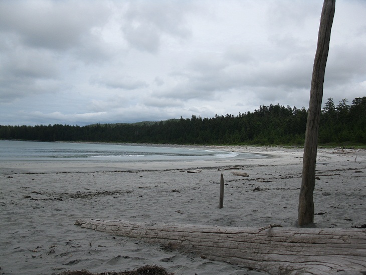
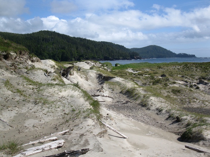
I wander up to the dunes and the beaches on either side. Back then the dunes were called the Sand Nech, Sannek for short. My grandmother writes of the wild strawberries that still grow there today and eating early potatoes and other vegetables of Mr. Jensen (he built the fences to "tame" the sand there). I find that the beaches there are two of the most beautiful (Guise Bay on the south side and Experiment Bight on the north side). I explore and enjoy the views from the beaches and the Sannek before heading back.
Day 4
My easy day.
I wander up to the dunes and the beaches on either side. Back then the dunes were called the Sand Nech, Sannek for short. My grandmother writes of the wild strawberries that still grow there today and eating early potatoes and other vegetables of Mr. Jensen (he built the fences to "tame" the sand there). I find that the beaches there are two of the most beautiful (Guise Bay on the south side and Experiment Bight on the north side). I explore and enjoy the views from the beaches and the Sannek before heading back.
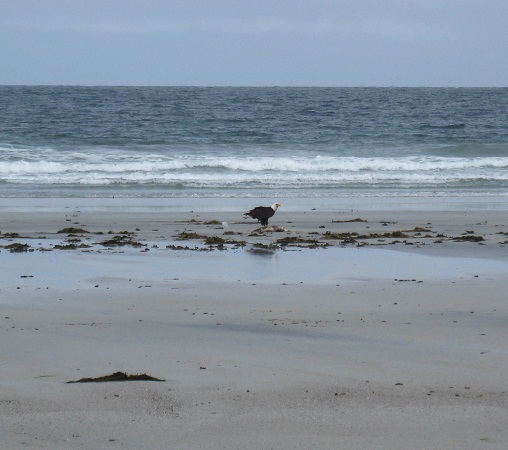
A Bald Eagle having some Seal for breakfast... yum yum.
|
Experiment Bight's far east end.
|
Waves crashing onto the shore between the two main sandy parts at Experiment Bight.
|
Old WWII barracks near Guise Bay. I learned on this trip that in the 1960's people were living out in these barracks in a "hippy" commune of sorts. They survived by living off of the land. Most people did not last long out here, just like the settlers before.
|
Guise Bay looking towards the Sannek.
|
Looking back at the eastern side of Guise Bay
|
The north side of the island and Experiment Bight from the top of the Sannek...
|
...and the south side of the island from the same spot on the Sannek.
|
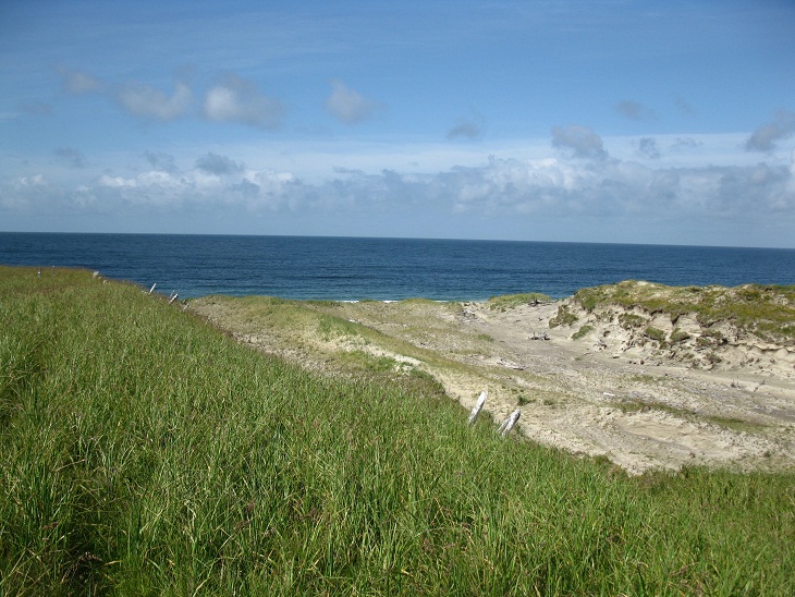
The dunes of the Sannek.
|
Back on Experiment Bight looking back to the east - the point at the eastern end of Nels is visible in the background.
|
Looking back to the other side of the island from Experiment Bight.
|
Waves crashing onto the beach - the weather was nice and I'm guessing no big storms had been out there recently so the waves were on the smaller side.
|
I'm being followed; oh wait... nevermind.
|
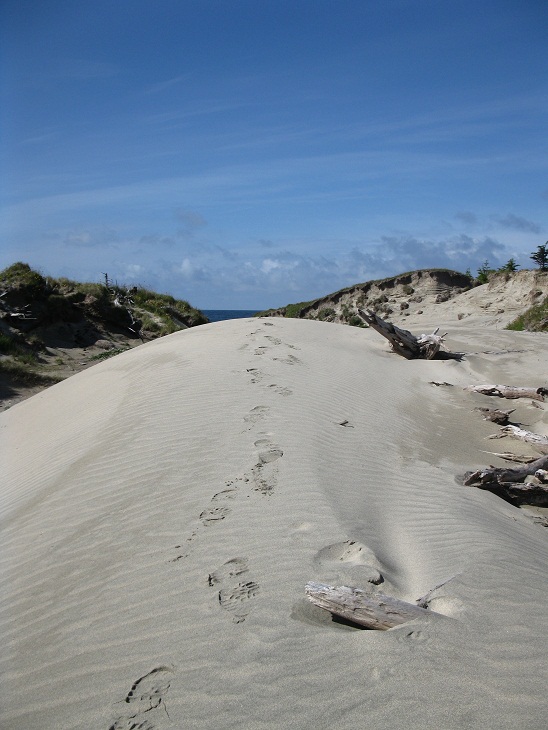
Crossing the middle of the dunes.
|
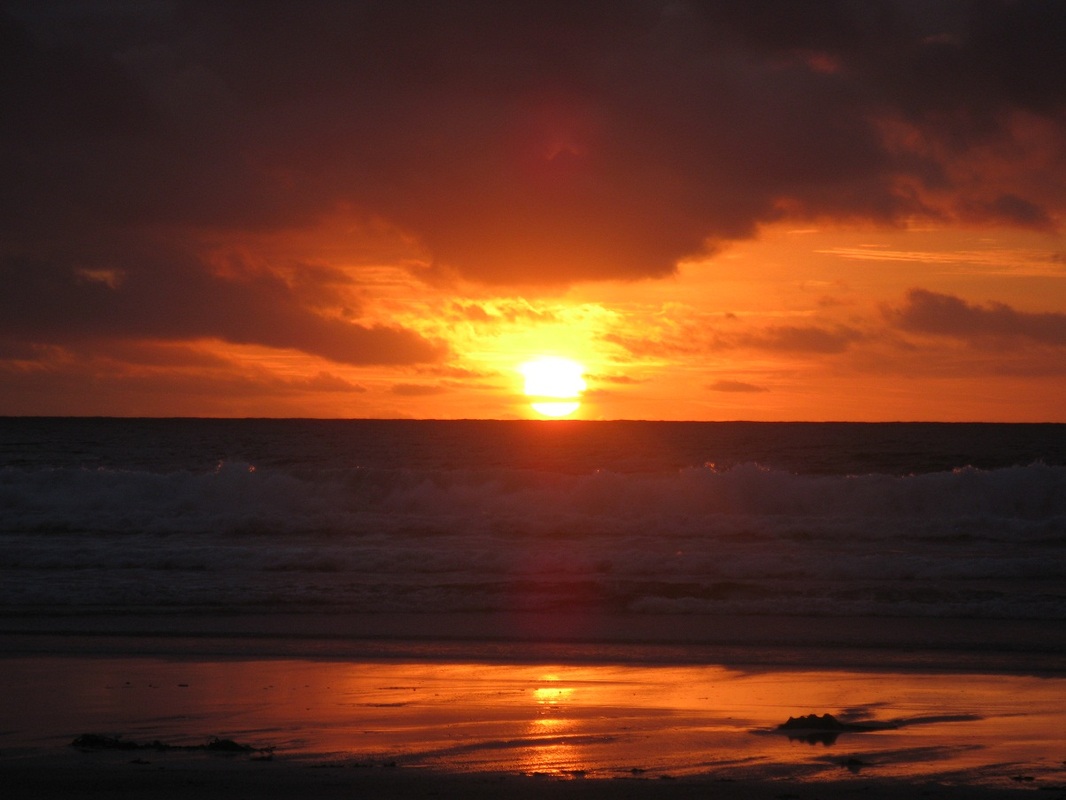
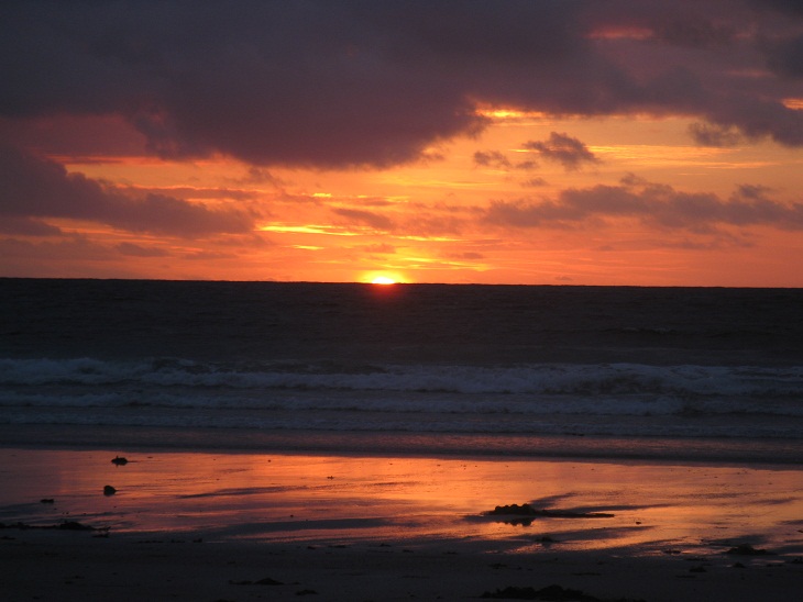
And after a great day of enjoying the sun... there was an added bonus of a great sunset...
|
|
|
Day 5
The hike out. I delay hiking out as long as possible, not only is it a picture perfect blue sky day, but I don’t want to leave the beauty that is still there today as it was 100 years ago. As I get going I find it ironic that the reason why the settlements failed is why that beauty is still here today. The government of the day never built the oh so much promised road to the Cape itself. It was this lack of road that has preserved this land. If it had been built the farms would have grown, as would the population and the forests would have been cut. And today Cape Scott Provincial Park would only be a fraction of its size; maybe just the actual Cape itself. So in the settlements demise is The Cape's fortune.
The hike out. I delay hiking out as long as possible, not only is it a picture perfect blue sky day, but I don’t want to leave the beauty that is still there today as it was 100 years ago. As I get going I find it ironic that the reason why the settlements failed is why that beauty is still here today. The government of the day never built the oh so much promised road to the Cape itself. It was this lack of road that has preserved this land. If it had been built the farms would have grown, as would the population and the forests would have been cut. And today Cape Scott Provincial Park would only be a fraction of its size; maybe just the actual Cape itself. So in the settlements demise is The Cape's fortune.
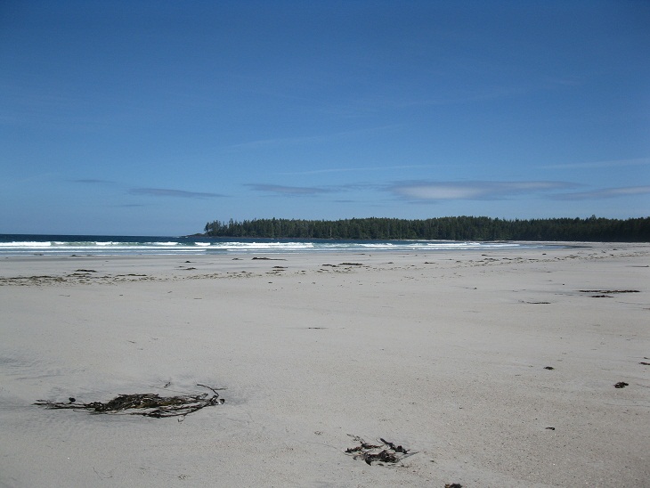
One last look at paradise.
|
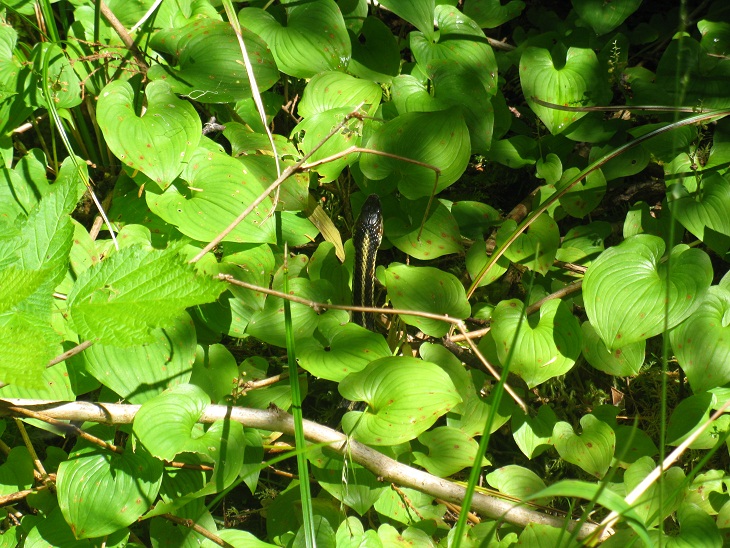
SNAKE!
|
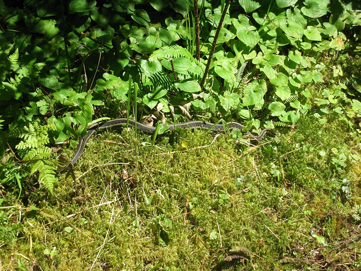
And a big one too... well big for the island.
|
Also along the trail out during my mental free time of 6 hours of hiking I think of my next Cape Scott adventure I want to do; the North Coast Trail.
But again, that trail is more than just a trail to me. My great grandmother, grandmother and her sister hiked out along the trail that lead from Nissen Bight to Shusartie Bay back in 1919. My great grandmother became pregnant and did not want to have her baby at The Cape and did not want to chance the boat out from Fisherman Bay so my grandmother had to lead the family out along the trail as my great grandfather was in River’s Inlet earning extra money to supplement their lack of income at the Cape. So off they went, staying at settler’s homes and small communities along the way. I’m not sure if that old route follows the same path as the new one (I doubt it and believe it had a more inland route for part of it) but the scenery and challenges must be nearly the same… if not harder then). So retracing her steps away from the Cape seems like a logical next choice for me.
Sean
Grandson of Phyllis Hill (Williams) of Cape Scott.
